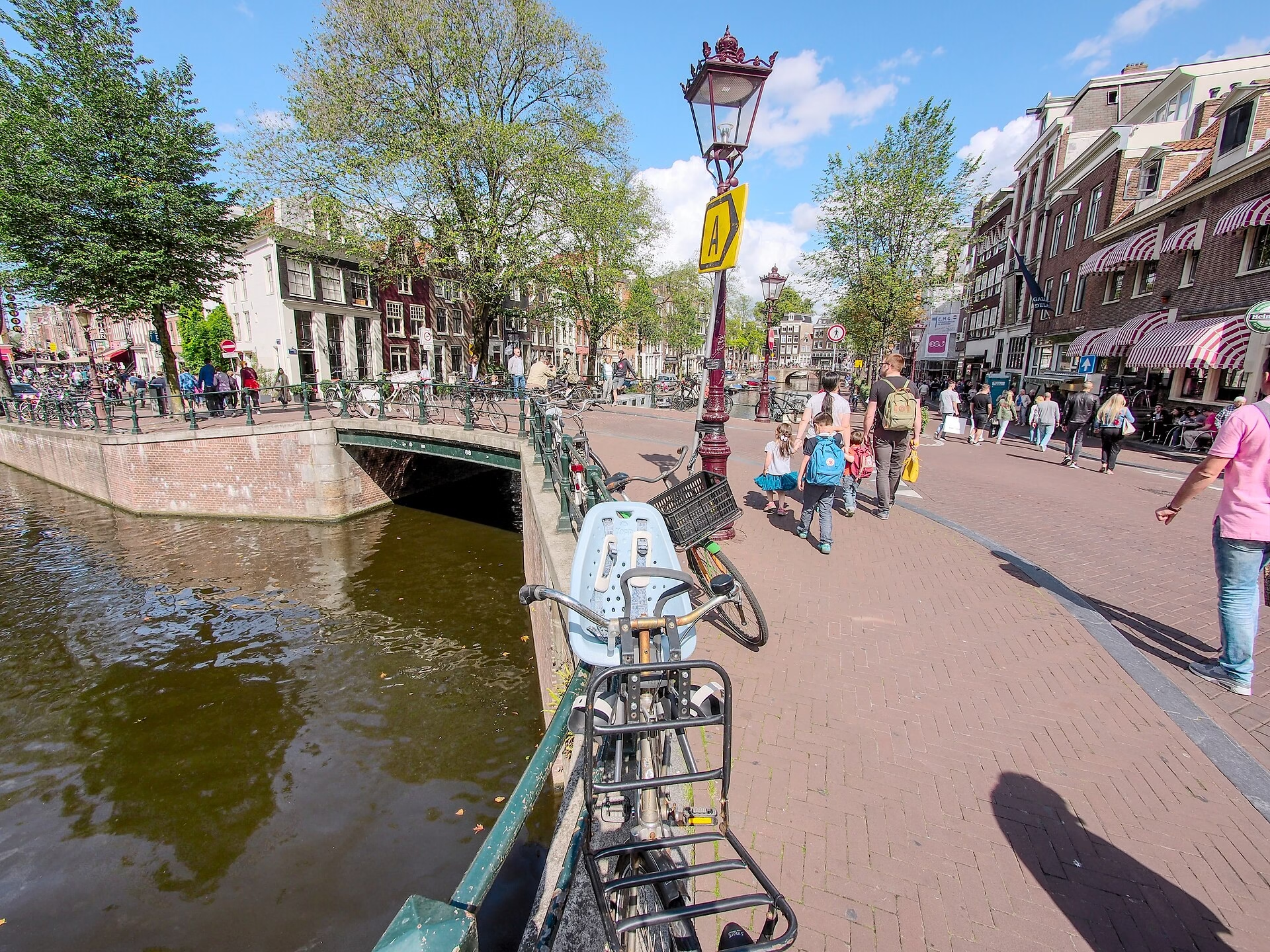
Photographed Into the Record: Brug 88 and the Spiegelgracht’s Other End
Brug 88 carries the northern embankment of the Lijnbaansgracht over the Spiegelgracht. It is an ordinary bridge with an unusually well documented life, because two of the most important photographers in Dutch history happened to point their cameras at it.
Structural Evolution, Read From Photographs
A crossing has been here for centuries. Daniel Stalpaert drew one on his design map of 1662, which places it in the original layout of the fourth expansion.
What happened after that can be traced with unusual precision, because the bridge sits inside the era when Amsterdam started being photographed systematically.
- 1872: Pieter Oosterhuis photographs a fixed bridge with three passages and nineteenth-century railings.
- 1877: the bridge is lowered, shortly after neighbouring Brug 97 is completed.
- 1890: renewed and widened.
- 1894: Jacob Olie photographs a plate and beam bridge with one passage.
- 1969: bridges 88 and 97 are replaced together.
Three passages in 1872 and one in 1894 is the entire nineteenth-century argument about Amsterdam bridges in two photographs. Multiple narrow arches suited boats and looked handsome; a single wide span suited carts, trams and later motor traffic. The city chose the single span, here and almost everywhere else.
Why It Was Lowered
The 1877 lowering is worth a note, because it is a thing Amsterdam did repeatedly and it is not obvious why.
A humped arch bridge is hard work for a loaded cart and, later, impossible for a tram, which cannot climb or descend sharply. Lowering a bridge flattens the approach at the cost of headroom underneath. Amsterdam lowered dozens of bridges through the second half of the nineteenth century, and each time it traded the boats’ convenience for the road’s.
The sequencing here is telling: the bridge was lowered shortly after Brug 97 was finished, which suggests the two were being brought into line with one another along the same route.
Oosterhuis and Olie
Pieter Oosterhuis was one of the first Dutch photographers to document infrastructure seriously, and much of what is known about Amsterdam’s bridges before 1880 rests on his plates.
Jacob Olie was something rarer. A schoolmaster and amateur, he photographed Amsterdam obsessively across decades, and because he shot ordinary streets rather than monuments, his work is now the principal visual record of how the nineteenth-century city actually looked at pavement level.
For a bridge like this one, unnamed and undistinguished, those photographs are the only reason a structural history exists at all. Most of what this site can say about Amsterdam’s smaller bridges comes from the same source.
Urban Context
The bridge sits at the outer end of the Spiegelgracht, where it meets the Lijnbaansgracht, with Brug 69 and Brug 87 at the inner end. The buildings on both sides of the Spiegelgracht are rijksmonumenten.
The current structure dates from 1969, when it was replaced alongside Brug 97 in a single programme of five to six months.
Brug 97 and the Habit of Working in Pairs
Brug 88 appears twice in the record alongside Brug 97, first in 1877 when 88 was lowered shortly after 97 was completed, and again in 1969 when the two were replaced together in a single five to six month programme.
That pairing is how Amsterdam has generally maintained its bridges. Crossings on the same route, of the same age and the same construction, tend to fail together and get treated together, because closing a street once is cheaper and less disruptive than closing it twice. It is also why so many Amsterdam bridges share a date with a neighbour rather than with anything else around them.
For anyone working through the numbered series, it is a useful principle: when a bridge has an unexplained rebuild date, the explanation is often standing a hundred metres away with the same date on it.
Technical Specifications
- Bridge number: 88
- Name: None, unnamed
- Type: Plate and beam bridge (plaat/liggerbrug)
- Carries: Lijnbaansgracht, northern embankment
- Spans: Spiegelgracht
- District: Amsterdam-Centrum
- Coordinates: 52.3618 N, 4.8870 E
- Earliest record: Stalpaert’s design map of 1662
- Photographed: 1872 by Pieter Oosterhuis, 1894 by Jacob Olie
- Lowered: 1877
- Renewed and widened: 1890
- Current structure: 1969, replaced together with Brug 97
- Status: Not a monument, flanked by rijksmonumenten
Sources Consulted
- Featured image: Brug 88, Bridge 88, Amsterdam by Alf van Beem, 2017, via Wikimedia Commons, Public domain
- Brug 88, Nederlandstalige Wikipedia
- Jacob Olie, Nederlandstalige Wikipedia
- Pieter Oosterhuis, Nederlandstalige Wikipedia
- Spiegelgracht, Nederlandstalige Wikipedia
- Bruggen van Amsterdam
- Stadsarchief Amsterdam, Beeldbank
- Frank V. Smit, Bruggen in Amsterdam (2008), Uitgeverij Matrijs