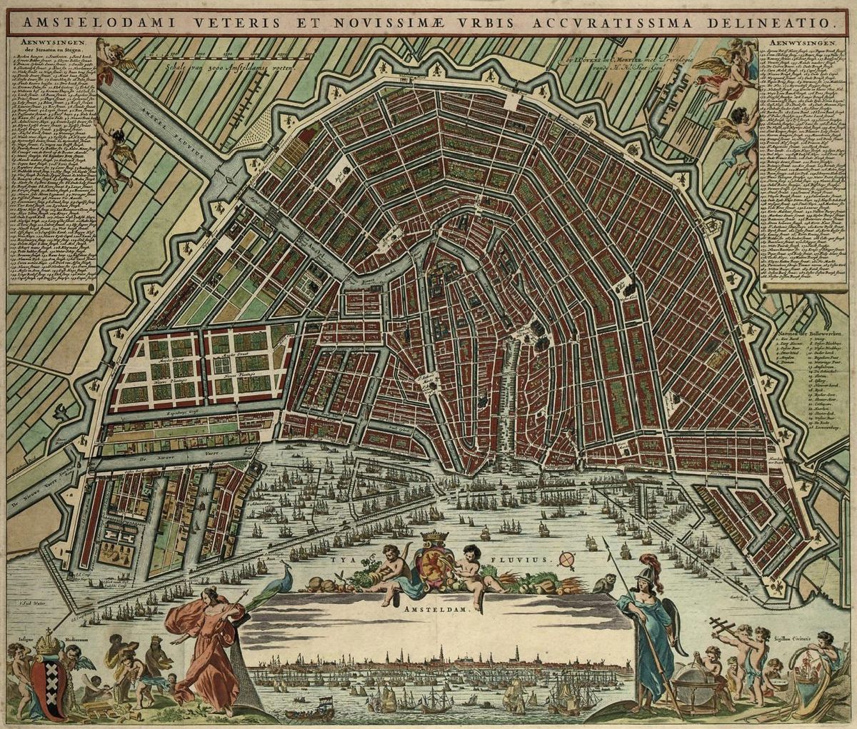
The 1721 map by the renowned publishing house of Covens and Mortier marks a significant transition in the cartographic history of Amsterdam. As the 18th century dawned, the focus of mapmaking began to shift from the purely artistic and symbolic “portraits” of the Golden Age toward the more systematic and data-driven approach of the Enlightenment. Johannes Covens and Cornelis Mortier, who operated from their shop on the Vijzelstraat, were the most influential publishers of their time. Their 1721 plan is a testament to their ability to synthesize the grand aesthetics of the past with the navigational and administrative needs of a modernizing city.
What makes the 1721 map particularly valuable is how it documents the “filling in” of the city. While the previous century saw the massive structural expansion of the Grachtengordel (Canal Belt), the early 1700s were characterized by the densification of these areas. In this map, you can see that the prestigious canal-side lots, which were still sparse in some 17th-century plans, are now almost entirely occupied by the grand, classical facades of the city’s merchant elite. The map also highlights the growing importance of the Amstel River as a central artery for the city’s internal life, showing the completed bridges and the bustling activity around the Hogesluis.
Technically, the 1721 edition is a masterpiece of copperplate engraving, known for its exceptional clarity and the elegance of its typography. It often features a highly detailed “Legenda” or index, which categorized hundreds of public buildings, churches, and markets by number. This made the map an indispensable tool for the growing number of international visitors and scholars flocking to Amsterdam. The decorative elements remained prominent, with a grand title cartouche that often depicted the city’s coat of arms flanked by Neptune and other nautical figures, emphasizing that Amsterdam’s 18th-century prosperity remained firmly rooted in its command of the seas.
For modern historians, the Covens and Mortier map provides a vital snapshot of Amsterdam just before the major industrial and social shifts of the mid-18th century. It captures the city in a state of stable, refined luxury. The Plantage area to the east is shown in its full glory as a recreational park, and the defensive bastions are rendered with a level of precision that suggests they were as much architectural landmarks as they were military installations. By standardizing the layout and focusing on the functional harmony of the canals, Covens and Mortier created a definitive reference that would influence European cartography for the next fifty years.

Explore the Evolution of Amsterdam
The 17th-century cartography of the Dutch Republic is a testament to the city’s rapid global expansion. This post is part of our comprehensive chronological archive.
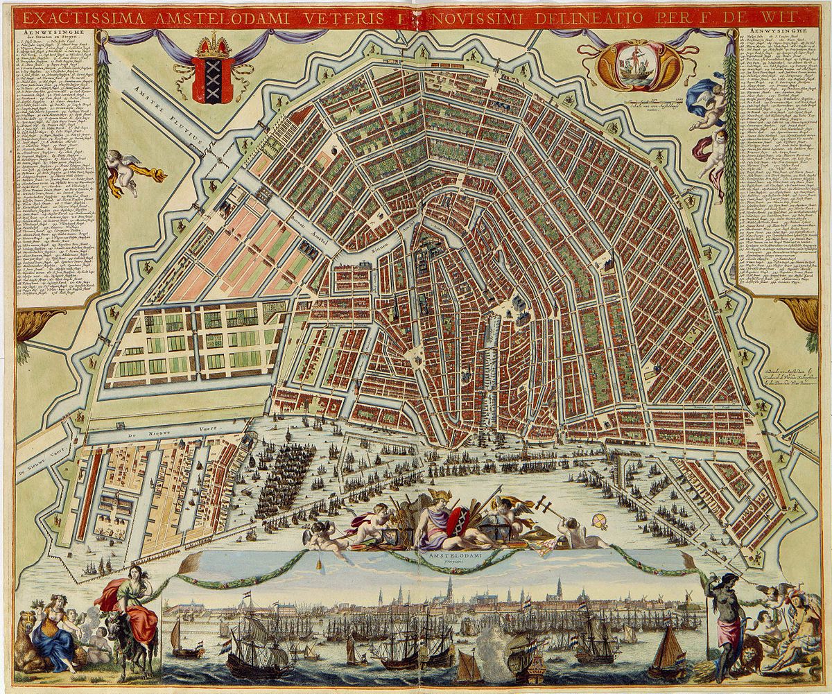
- ← Previous Map: 1688 Frederick de Wit
- Main Collection: Maps of Amsterdam: A Chronological Guide
- Next Map: → 1737 Gerrit de Broen
This 1721 Covens and Mortier Plan of Amsterdam is a key part of our Chronological Guide to the Maps of Amsterdam, which documents the city’s growth from a medieval port to a global capital.
Disclaimer: These works are in the public domain in their country of origin and other countries and areas where the copyright term is the author’s life plus 100 years or fewer.