The Bear Hides of the Berenstraat, and the 1893 Bridge Built While the City Argued About Filling In the Elandsgracht
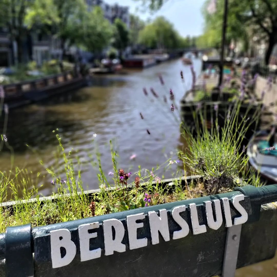
The Berensluis connects the Berenstraat with the Elandsgracht, spanning the Prinsengracht between them. Like its neighbour the Reesluis a short distance north, it carries a name drawn from the hide trade, and like the Reesluis it belongs to the group of crossings that stitch the canal belt to the Jordaan.
Etymology and Naming: Bears, Deer and the Tanners’ Quarter
The bridge takes its name directly from the Berenstraat on which it sits. The street name, in turn, belongs to the same industrial history as the Reestraat beside it: in the seventeenth century this part of what is now the Jordaan held tanneries and the hide trade, and the animals whose skins passed through those workshops included bears.
Taken together with the Reestraat (roe deer) and the Looiersgracht (tanners), the Berenstraat completes a small toponymic cluster recording an entire vanished industry. It is one of the pleasures of walking this stretch of the Prinsengracht that four bridges in a row — and the streets they serve — carry the vocabulary of a trade that has left no other physical trace whatsoever. The bear hides came from somewhere far to the east; the workshops that processed them stood a few metres from where the tour boats now pass.
As elsewhere in Amsterdam, the sluis in the name marks a stone bridge, not a lock.
Structural Evolution: Blaeu’s Map of 1649 and the Tender of 1892
The bridge appears on Joan Blaeu’s map of 1649, alongside its neighbours — placing it, like most of the crossings in this stretch, among the original infrastructure of the completed canal ring rather than a later insertion.
The structure standing today, however, is a product of the 1890s, and the circumstances of its construction are unusually well documented. In 1890 the bridge appeared in the news during municipal discussions about filling in the Elandsgracht and about determining the water supply for the newly built Central Market Halls. In 1892 the bridge was put out to tender, with materials procured for the renewal of the Berensluis and one other bridge. The current bridge dates from 1893.
That sequence — a debate about filling in a canal, a question about water supply for a new market complex, and then a bridge rebuilt the following year — is a useful reminder that bridges are rarely rebuilt for their own sake. They are rebuilt because something around them is changing. The Berensluis of 1893 exists because late nineteenth-century Amsterdam was reorganising its water, its markets and its traffic all at once.
Urban and Social Context: Between the Nine Streets and the Elandsgracht
The Berenstraat side of the bridge belongs to the Negen Straatjes, the compact grid of shopping streets running between the main canals, now among the most sought-after retail addresses in the city. The Elandsgracht side leads into the Jordaan proper, historically a working-class district and today a mixture of the residential, the touristic and the extremely expensive.
The Elandsgracht itself was one of the canals discussed for filling in during the same period the bridge was rebuilt — part of the broader nineteenth-century impulse to convert water into road that also produced the Rozengracht corridor a few hundred metres north. The Berensluis therefore stands at a boundary that is social as much as physical: canal belt on one side, Jordaan on the other, and a nineteenth-century argument about which of them the city was for running straight beneath it.
Technical Specifications
- Bridge number: 65
- Name: Berensluis
- Type: Fixed bridge
- Spans: Prinsengracht
- Connects: Berenstraat with Elandsgracht
- First recorded: Joan Blaeu map, 1649
- Tendered: 1892
- Current structure: 1893
Sources Consulted
- Berensluis, Nederlandstalige Wikipedia
- Joan Blaeu, map of Amsterdam, 1649
- Bruggen van Amsterdam — Prinsengracht hoek Berenstraat
- Municipal reporting on the Elandsgracht and the Central Market Halls, 1890
- Municipal tender records for the renewal of the Berensluis, 1892


History and information


Map and location


