
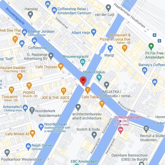
The Lekkeresluis, Bridge 59, sits on the southern quay of the Brouwersgracht at the exact point where the Prinsengracht flows into it — on the far side, the same waterway continues under a different name, the Korte Prinsengracht. It’s a modest three-arched bridge with an outsized reputation for one thing: its name translates roughly as “Tasty Lock,” and the story behind that name is one of the more charming pieces of etymology among Amsterdam’s numbered bridges.


1. Etymology and Naming: Bakers on the Bridge, and a Rival Nickname from a Corner Café
The Lekkeresluis takes its name from the bakers (bakkers, or baksters for the women who sold alongside them) who once used the bridge itself as a place to advertise and sell their wares. “Lekker” is the Dutch word for tasty or delicious, and the name stuck the way many of Amsterdam’s bridge names did — through common usage rather than official decree, later formalised into the register.
A second, far less common nickname has also attached itself to the bridge: Papeneilandbrug, after the well-known local café at Prinsengracht 2, right at the bridge’s edge. This is not the bridge’s primary identity, and the “Papeneiland” name is more firmly associated with the café itself than with the crossing, but it’s the kind of secondary naming pattern that recurs across the numbered bridges — a local landmark lending its identity to the infrastructure beside it.
2. Structural Evolution: A Three-Arched Bridge Rebuilt in 1754, Reinforced Twice in the Twentieth Century
There has been a bridge at this location for centuries. It already appears on Joan Blaeu’s map of Amsterdam from 1649, well over a century before the structure standing today was built.
The current bridge dates from 1754. It is a welfbrug — a fixed arch bridge — built with three passages (doorvaarten). On the north side of the bridge, flanking the central of the three arches, are two datestones reading “Anno” and “1754.” The bridge’s number, 59, is carved into the topstone of the central vault on that same north side, alongside a small stairway down to the water’s surface.
The bridge’s westernmost arch was, for a period, closed off and used for storage rather than as a navigable passage — a detail that hints at how flexibly these small utility bridges were adapted over the centuries rather than preserved as static monuments.
Despite carrying increasingly heavy loads over nearly two centuries, the bridge was still recorded as being in good condition in a 1946 inspection. That didn’t last indefinitely: as the municipality’s efforts to push cars out of the city centre failed to keep pace with rising traffic, the bridge needed structural reinforcement with reinforced concrete in 1976, and required reinforcement again in 1991.
3. Architectural Lineage: An Unattributed Eighteenth-Century Arch Bridge
No individual designer or architect is identified for the Lekkeresluis in the sources consulted for this piece. Unlike the twentieth-century Amsterdam School bridges elsewhere in the city — many of which carry the clear design fingerprints of figures like Piet Kramer — the Lekkeresluis belongs to an earlier, more anonymous tradition of civic bridge-building, where the structure’s date and function mattered more to the historical record than the name of whoever built it.
4. Urban and Social Context: A Monument at the Mouth of the Brouwersgracht
The Lekkeresluis sits at a genuinely scenic junction: looking south from the bridge, there’s a clear view toward the Westertoren, the tower of the Westerkerk and one of the most recognisable landmarks in Amsterdam’s skyline. Looking north, the Prinsengracht becomes the Brouwersgracht — one of the city’s most photographed canals — and on the far side of that junction, the same waterway continues on as the Korte Prinsengracht.
The bridge is also directly adjacent to its neighbour, the Papiermolensluis (Bridge 57), another municipal monument, and is further enclosed by canal houses that carry national monument (rijksmonument) status. In 1995, the Lekkeresluis itself was formally designated a gemeentelijk monument (municipal monument) — worth noting because it means the bridge is a protected structure in its own right, not merely a minor crossing standing in the shadow of its more celebrated neighbours.
Map & Location
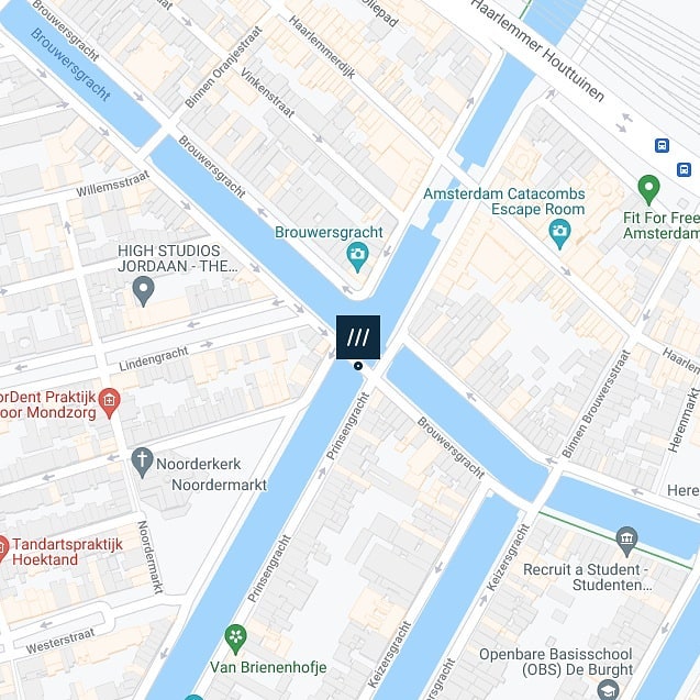
Brug 59/Lekkeresluis map and location
///shuttle.scarves.such
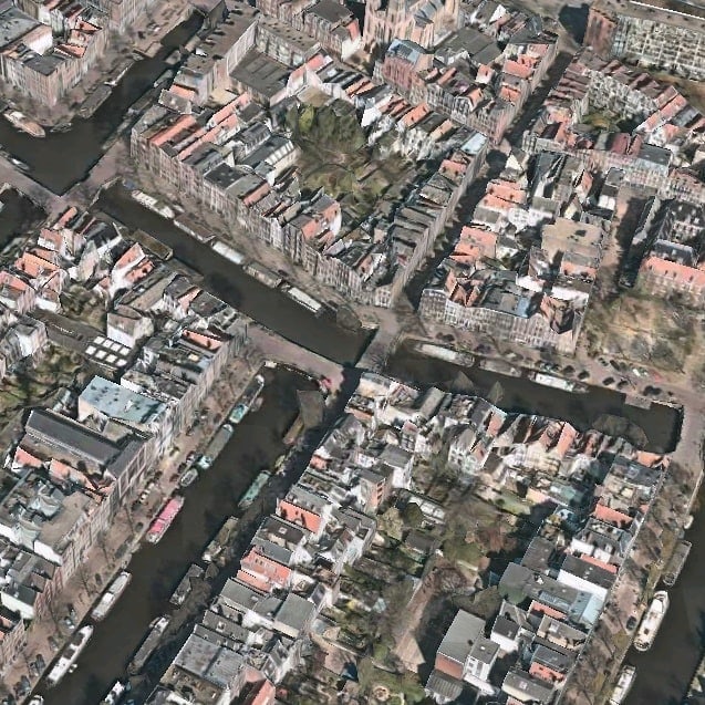
The bridge is located in the southern quay of the Brouwersgracht and spans the Prinsengracht. Just like it’s neighbour on the southern quayside #Papiermolensluis the #brug59 is located where the Prinsengracht flows into the Brouwersgracht, and then on the other side of the Brouwersgracht the canal continues under the name Korte Prinsengracht.
Lekkeresluis – Bridge 59 | History and information
Again no surprise that there has been a bridge here for centuries. #bridge59 can already be seen on Joan Blaeu’s map from 1649. The current bridge dates from 1754, left and right of the middle passage of the three on the north side of the bridge are two stones with “Anno” and “1754”. The bridge number is carved into the top stone of the central vault on the same side. Also on that side are stairs to the water surface. Although the bridge had to lift heavy loads over the centuries, it was still found in 1946 that it was in good condition. Although the municipality tried to move cars out of the city centre, the traffic became heavier and heavier. In 1976 the bridge was reinforced with concrete and in 1991 the bridge had to be reinforced again.
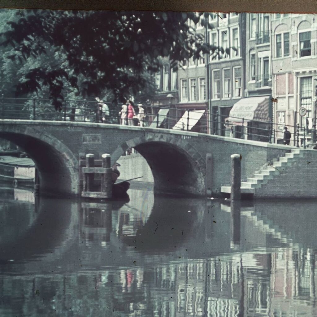
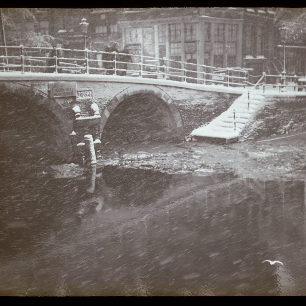
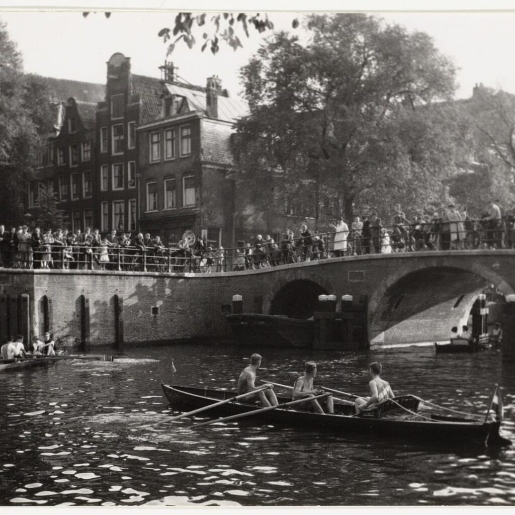
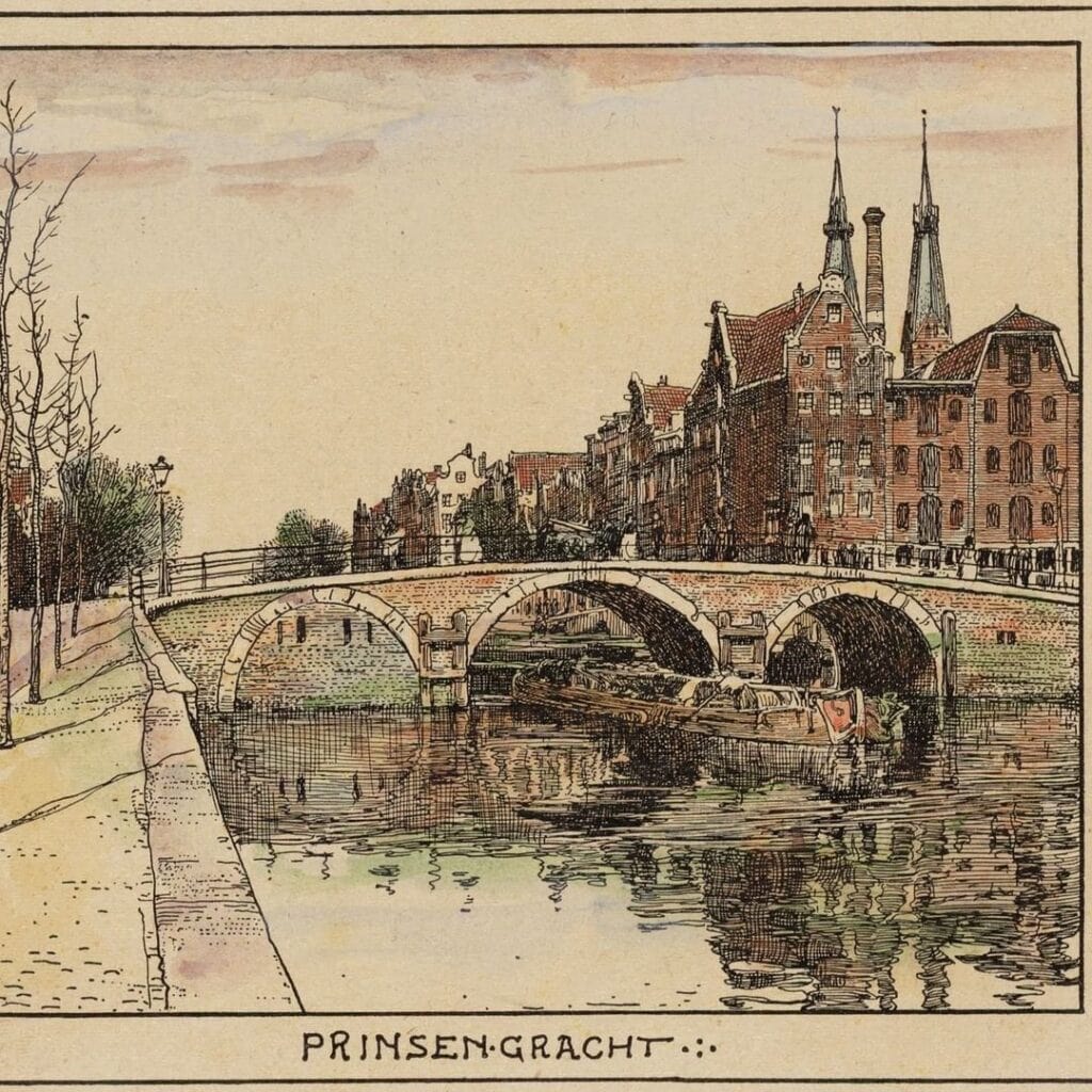
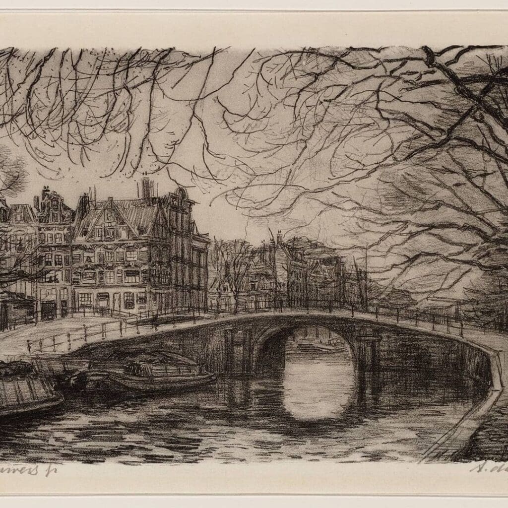
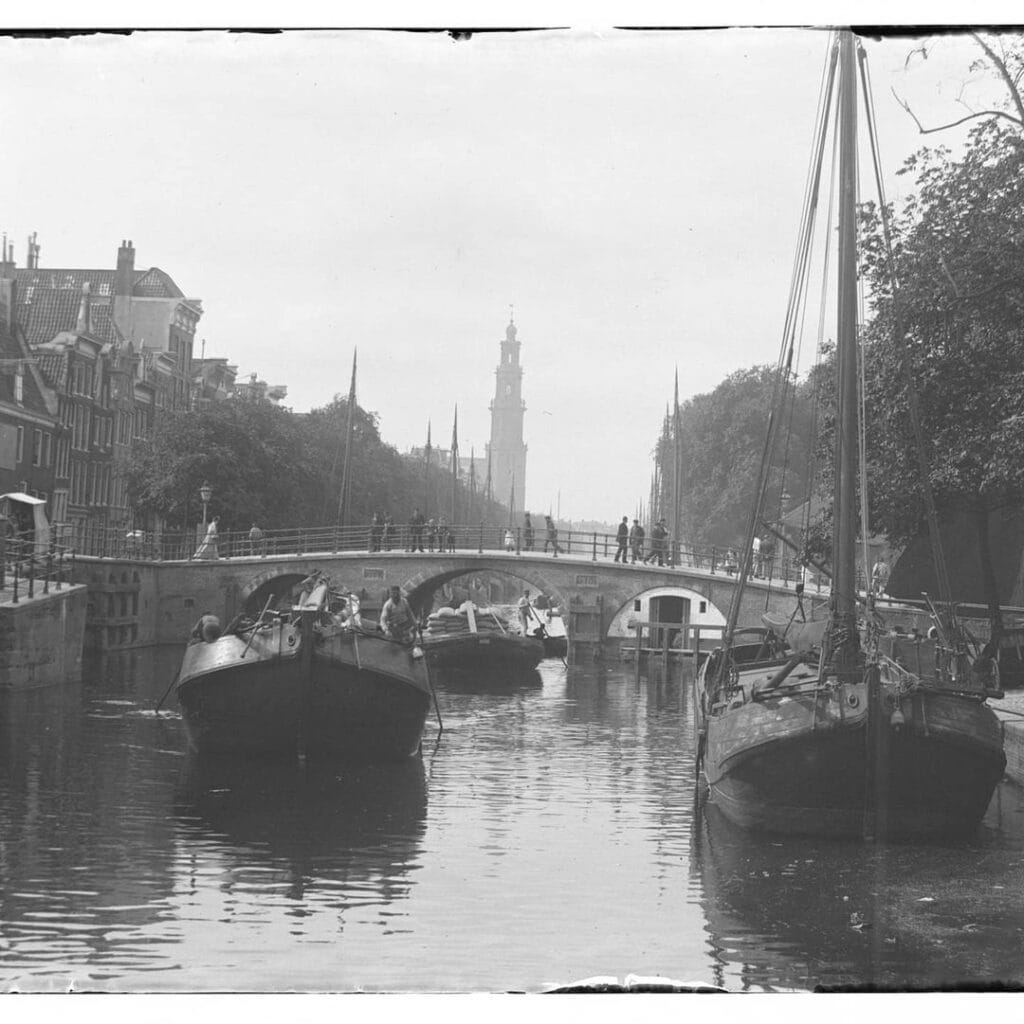
Photos from the archive
1. Lithograph of Lekkersluis Linse, H.J.C. Collectie Stadsarchief Amsterdam
2. in the middle Brug 59, the Lekkeresluis. Collectie Jacob Olie Jbz. 15 juni 1894
3. Lekkeresluis, Brug 59. Collectie Bernard F. Eilers april 1940 t/m oktober 1940
4. de Lekkeresluis (brug nummer 59). Wintergezicht. Collectie Bernard F. Eilers februari 1916 t/m januari 1918
5. Prinsengracht (hoek Brouwersgracht) Collectie Atlas Dreesmann 27 april 1902
6. the Papiermolensluis and the Lekkeresluis at right angles to it. 1953 ca. t/m 1995 ca.
7. Canal tour of wherries in the Brouwersgracht at number 101-97 Description Middle: arch bridge 57 “Papiermolensluis” and right: arch bridge 59 “Lekkeresluis” with entrance Prinsengracht. Collectie G.L.W. Oppenheim 26 september 1953
5. Technical Specifications
Based on confirmed sources, the following can be stated:
Wikidata: Q2136972
Bridge type: Fixed arch bridge (welfbrug), three passages
Location: Southern quay of the Brouwersgracht, spanning the Prinsengracht, Amsterdam-Centrum, at the junction where the Prinsengracht becomes the Korte Prinsengracht
Coordinates: 52°22′49.3″N, 4°53′17.9″E (Wikidata Q2136972)
Current structure built: 1754
First cartographic appearance (predecessor bridge): Joan Blaeu’s map of Amsterdam, 1649
Datestones: “Anno” and “1754,” flanking the central of the three arches on the north side
Bridge number: Carved into the topstone of the central vault, north side
Notable feature: The westernmost arch was closed off for a period and used for storage
Reinforcement history: Recorded in good condition in 1946; reinforced with concrete in 1976; reinforced again in 1991
Monument status: Gemeentelijk monument (municipal monument) since 1995
Etymology: Named after bakers who sold food on the bridge (“lekker” = tasty); rare alternative nickname “Papeneilandbrug,” after the café at Prinsengracht 2
Adjacent monument: Papiermolensluis (Bridge 57), also a municipal monument
Sources Consulted
- Wikipedia (nl), “Lekkeresluis”: nl.wikipedia.org/wiki/Lekkeresluis
- Wikidata, “Lekkere Sluis” (Q2136972): wikidata.org/wiki/Q2136972
- Amsterdam Monumentenstad, database entry for Brug 59 / Lekkeresluis (object 10535): amsterdam-monumentenstad.nl/database/grachtenboek_objecten.php?id=10535
- Wikimedia Commons, Category: Brug 59, Lekkeresluis: commons.wikimedia.org/wiki/Category:Brug_59,_Lekkeresluis
A note on sourcing: a couple of search results claimed a specific municipal monument registration number and date (200837 / 10-10-1995) and a claim that the Lekkeresluis and Papiermolensluis together form “one of the most intact eighteenth-century bridge ensembles” in the canal district. I checked the Amsterdam Monumentenstad database entry directly and couldn’t verify either claim there, so I’ve left both out rather than publish something I couldn’t confirm. If you want that monument registration number for the technical specs, the official Amsterdam monumentenregister (maps.amsterdam.nl/monumenten/) would be the place to look it up directly.