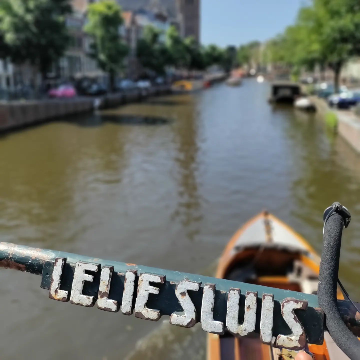
A Stone Bridge Where the Leliegracht Meets the Prinsengracht, and the Collapse of 1656 That Drowned Ten People
Bridge 61 carries the Leliegracht across the Prinsengracht, joining the northern quay of the one to the western canal belt of the other. It is a modest crossing by the standards of Amsterdam’s grander bridges, low and flat and easy to walk over without noticing, and yet it commands one of the most photographed sightlines in the city. Standing on its deck and turning slowly, a visitor takes in three national monuments at once: the Anne Frank Huis a short distance north, the tower of the Westerkerk rising behind it, and the Gunters & Meusersgebouw on the corner. Few bridges in Amsterdam offer so much of the city’s story from a single vantage point, and fewer still conceal a disaster as grim as the one that happened here in 1656.
Etymology and Naming: The White Lily on the Singel
The bridge takes its name from the canal it carries rather than from any person or event. The Leliegracht is named for the Oude Leliestraat, and that street in turn borrowed its name from a house on the Singel called In de Witte Lelye — “In the White Lily.” This is the ordinary way Amsterdam names itself: a merchant’s house acquires a name, the name attaches to the street beside it, the street lends the name to the canal, and eventually the canal passes it to the bridge. By the time the name reaches the water it has travelled through three intermediaries and lost all connection to whoever first hung a painted lily above a door on the Singel.
The suffix deserves its own note. In Amsterdam, sluis in a bridge name does not necessarily indicate a working lock. The word was applied traditionally to stone bridges, distinguishing them from the timber crossings that made up most of the city’s spans for much of its history. A visitor who reads “Leliesluis” and looks for lock gates will not find them. The name records a material and a moment — the point at which this crossing stopped being made of wood.
Structural Evolution: From Berckenrode’s Map of 1625 to the Anno 1785 Stones
There has been a crossing at this spot for four centuries at least. Balthasar Florisz. van Berckenrode’s celebrated map of 1625 — the survey that fixed the shape of the expanding canal ring in the public imagination — already shows a bridge here, drawn at a time when the Prinsengracht itself was barely finished. Around 1645 the crossing was a wooden structure, in keeping with most of the city’s spans, and it was subsequently rebuilt in stone as Amsterdam grew wealthy enough to prefer permanence to economy.
That rebuilding went badly. The stonework was poorly executed, and in 1656 the bridge collapsed. Ten people drowned. It is worth pausing on that number, because Amsterdam’s bridge history is usually told through architects and arches rather than casualties, and a death toll of ten in a single structural failure was a civic catastrophe in a city of this period. The collapse belongs to the same century as the Golden Age construction that Amsterdam celebrates, and it is a reminder that the canal ring was built at speed, under commercial pressure, by contractors of varying competence.
Two draughtsmen record the bridge in the century that followed. Jan Spaan produced a drawing, dated to somewhere between 1765 and 1770, showing a bridge of three arches. Herman Schouten later depicted a version with four. Whether these represent successive rebuildings or differing artistic licence, they establish that the eighteenth-century crossing was an arched masonry structure rather than the flat deck seen today.
The present bridge announces its own date. Stones set into the south side read Anno 1785, placing its construction in the last years of the Dutch Republic, a decade before the French occupation brought an end to the old civic order that had built the canal ring.
Architectural Lineage: Lowered for Traffic, Repaired Under Occupation
Two later interventions shaped what stands today. In 1886 the bridge was lowered. The reason was traffic: land transport had grown heavier and more frequent through the nineteenth century, and a high-arched bridge that suited barges beneath was an obstacle to carts and horses above. Lowering the deck flattened the profile and made the crossing easier to use, at the cost of the arched silhouette that Spaan and Schouten had drawn. This trade — headroom for the water against convenience for the road — recurs across Amsterdam’s bridges throughout the nineteenth century, and it is why so many of the city’s central crossings sit lower and flatter than their eighteenth-century predecessors.
By 1941 the bridge’s condition had deteriorated badly enough to require renovation. The timing was unfortunate. The Netherlands was under German occupation, materials were scarce, and the work was consequently kept simple — a repair rather than a restoration. A new road deck was added subsequently. The bridge that pedestrians cross today is therefore a layered object: an eighteenth-century structure, lowered in the nineteenth century, patched under wartime constraint in the twentieth, and resurfaced since.
Urban and Social Context: Three Monuments From One Deck
The Leliegracht is one of the shorter radial canals of the western belt, and its crossing of the Prinsengracht places Bridge 61 at a junction of unusual density. Three rijksmonumenten are visible from the bridge. The Anne Frank Huis stands at Prinsengracht 263, a short walk north along the quay, and the queue outside it is often the first thing a visitor to this bridge notices. Behind it rises the Westerkerk, Hendrick de Keyser’s church of 1631 and the tallest church tower in the city, whose bells Anne Frank wrote about hearing from the annexe. On the corner sits the Gunters & Meusersgebouw, an ironmonger’s premises whose frontage is among the most distinctive on the canal.
The result is a crossing that carries far more foot traffic than its size suggests, most of it belonging to people on their way somewhere else who never learn the bridge’s name. Like most crossings in the historic ring, it is managed by Stadsdeel Centrum.
Technical Specifications
- Bridge number: 61
- Name: Leliesluis
- Type: Fixed bridge (liggerbrug)
- Spans: Prinsengracht
- Carries: Leliegracht
- Current structure: 1785 (date stones on the south side)
- Clearance height: 2.04 m
- Width: 6.82 m
- Widening: None
- Managed by: Stadsdeel Centrum
Sources Consulted
- Leliesluis, Nederlandstalige Wikipedia
- Balthasar Florisz. van Berckenrode, map of Amsterdam, 1625
- Jan Spaan, drawing of the bridge, c. 1765–1770
- Herman Schouten, depiction of the four-arch bridge
- Leliegracht, Wikipedia
- Bruggen van Amsterdam — Prinsengracht hoek Leliegracht
- Wikimedia Commons, photographic records of Brug 61


History and information
This bridge is named after the Leliegracht, which in turn is named after the Oude Leliestraat , which in turn is named after the house “In de Witte Lelye” on the Singel . The suffix sluice goes back to the Amsterdam designation for a stone bridge. Unlike elsewhere in the city, there is a former lock just a stone’s throw away , also called the Leliesluis (Lely Sluys). The contours of that lock are still visible in the Leliegracht.


Map and location
Leliesluis spans the Prinsengracht and connects the north bank of the Leliegracht with the other side of the Prinsengracht. This bridge is normally busy with tourists throughout the year as you have a good view of three national monuments the Anne Frank House, the Westerkerk and the Gunters & Meusers building.

