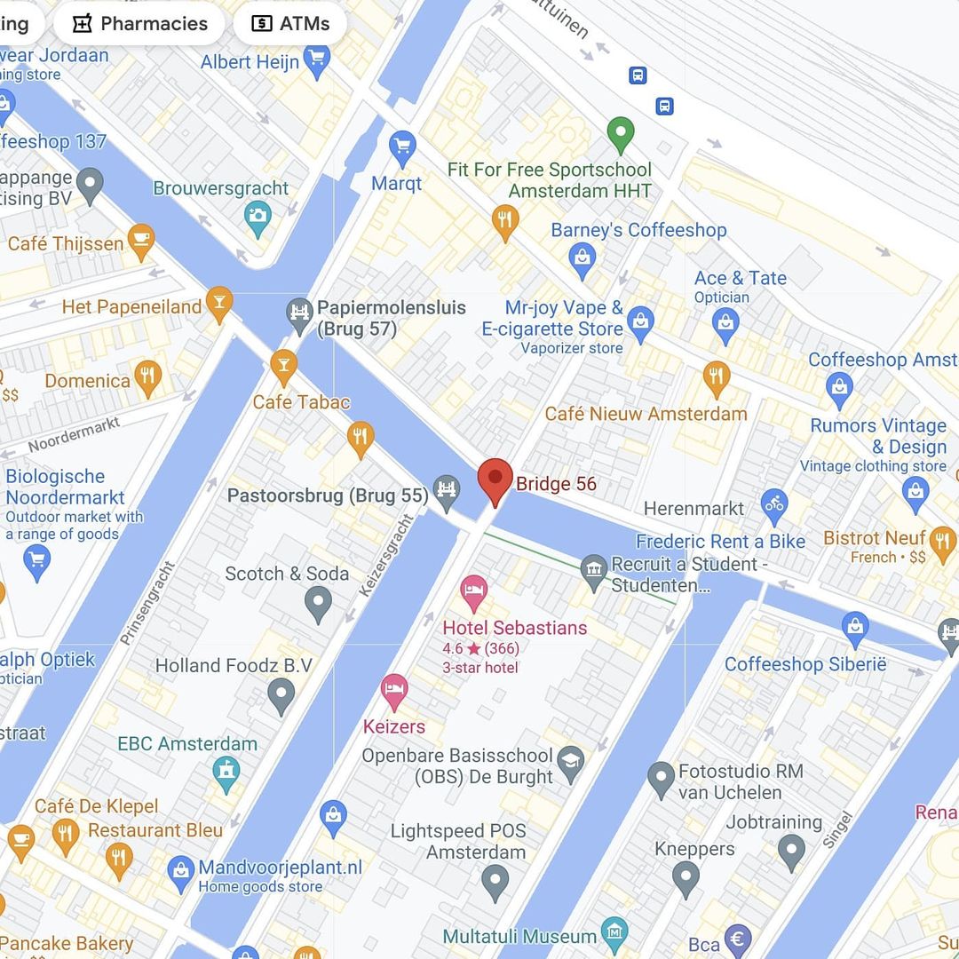
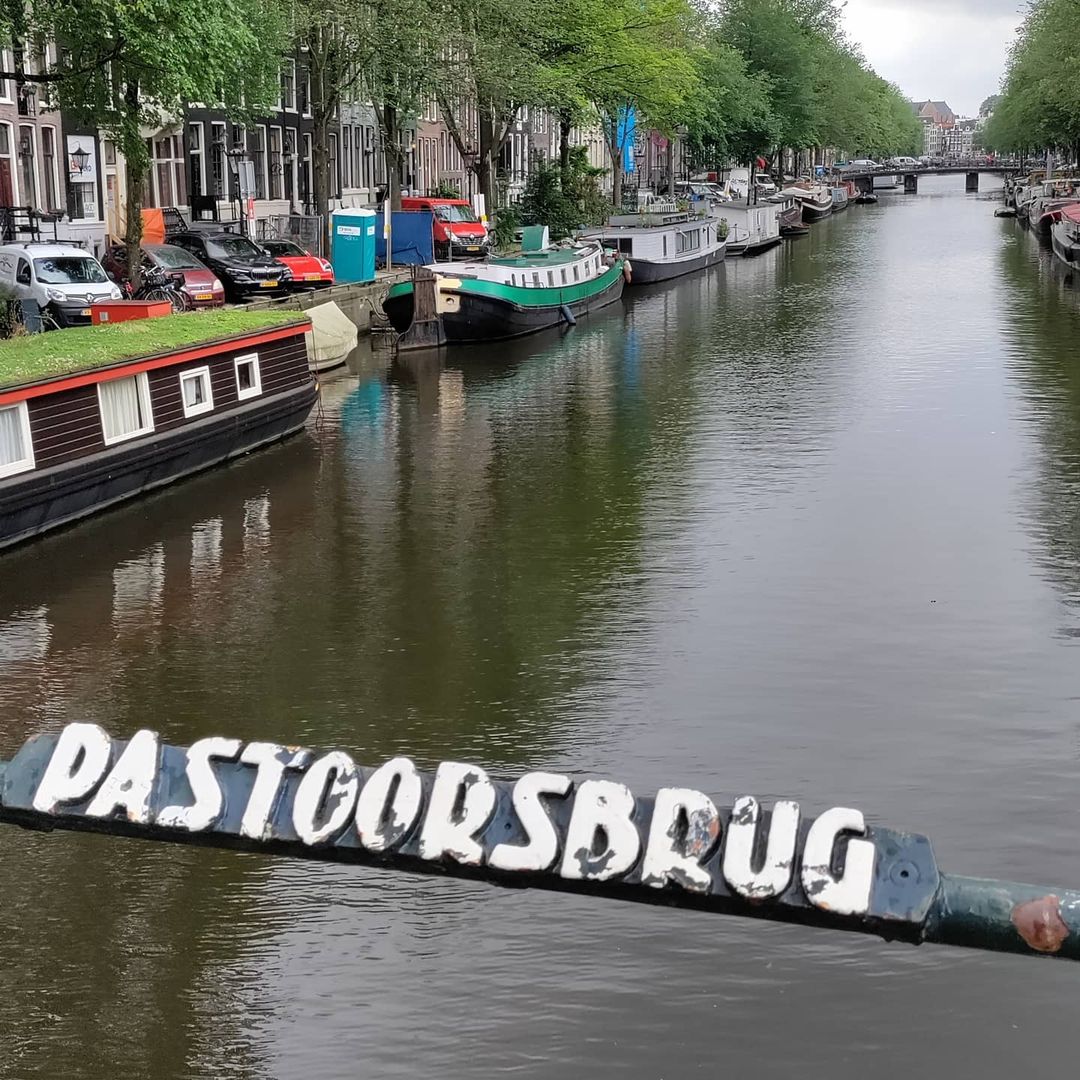
Brug 55 Pastoorsbrug map and location ///digs.invented.weaved The northernmost bridge over the Keizersgracht, Pastoorsbrug is located in the southern quay of the Brouwersgracht in Amsterdam city centre. Like most bridges in the historic world heritage canal ring there has been a bridge here for centuries. A bridge was already shown on a map of 1616/1617 on which the subdivision is indicated. Also the map of Balthasar Florisz. van Berckenrode from 1625 shows a bridge over the Keysers Graft in the Brouwers Graft.
Brug 56 map and location///circling.owners.ideaAdjacent to the #Pastoorbrug this bridge connects the eastern quay of the Keizersgracht with the Binnen Brouwersstraat over the Brouwersgracht.There has been a bridge here for centuries. Balthasar Florisz. van Berckenrode drew a bridge with five passages on his map of circa 1625 at the Keysers…
Pastoorsbrug (The Pastor's Bridge number 55)Located in the southern quay of the Brouwersgracht spanning the Keizersgracht. It is therefore the northernmost bridge over Keizersgracht since it does not continue on the other side of the Brouwersgracht. The bridge is relatively young and is not a monument itself but it shares…
Bridge 55 Pastoorsbrug information and historyThe modern history of the bridge begins in June 1884, when there was a wooden bridge. The municipality issued a tender for the "iron renewal of the footbridge" and the "delivery of more than 5 tons of beam iron". The iron bridge with wooden planks…